Azilal and Ouzoud waterfalls
Azilal province, in the centre of the Atlas, brings together the Ouzoud waterfalls, about 110 m high, the M'Goun UNESCO Global Geopark and the Ait Bouguemez valley, the 'valley of happy people'. For a day trip from Marrakesh, or several days of hiking and homestays in the mountains.
Ouzoud: seeing the falls without the crowds
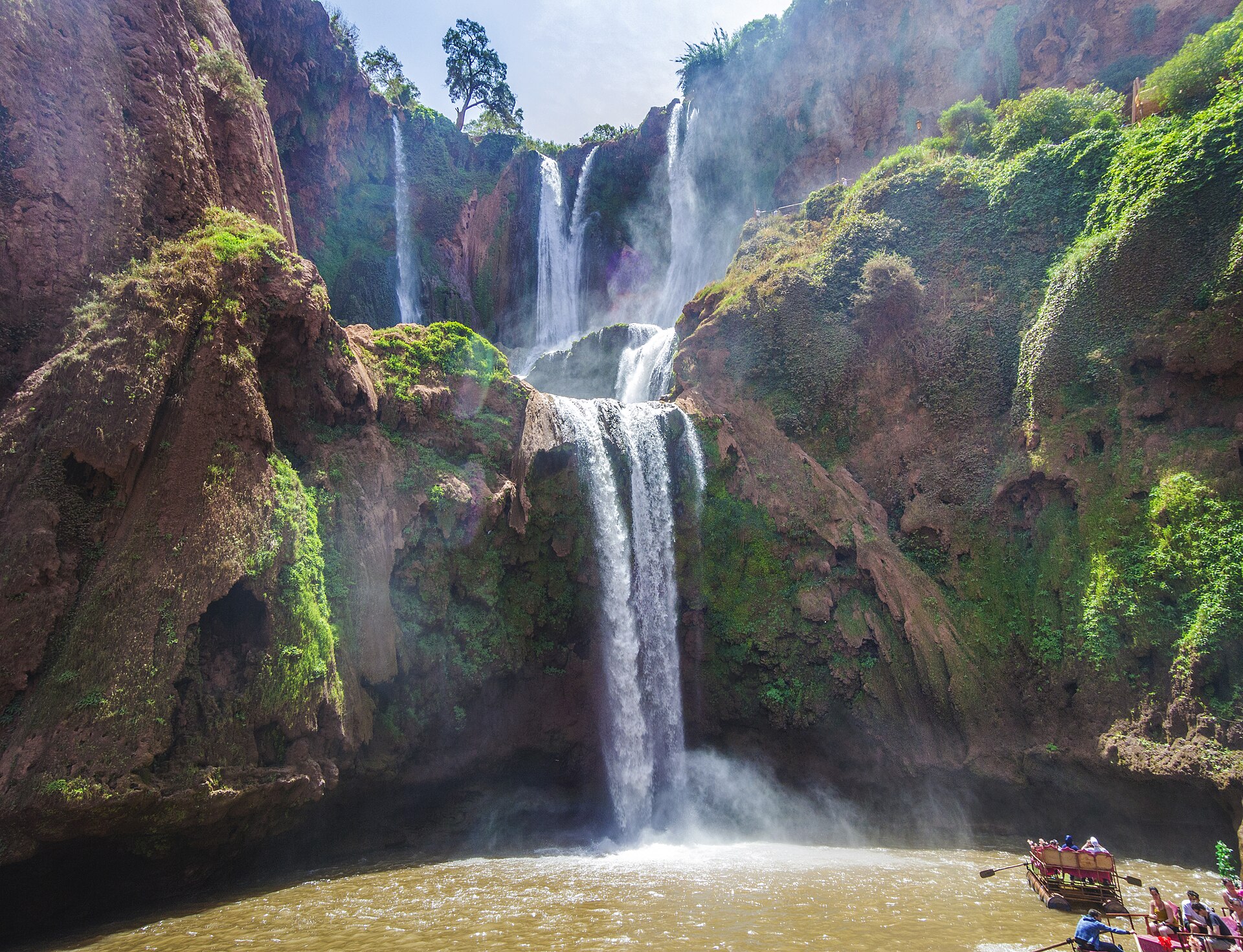
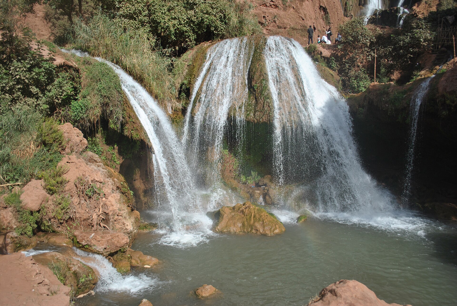
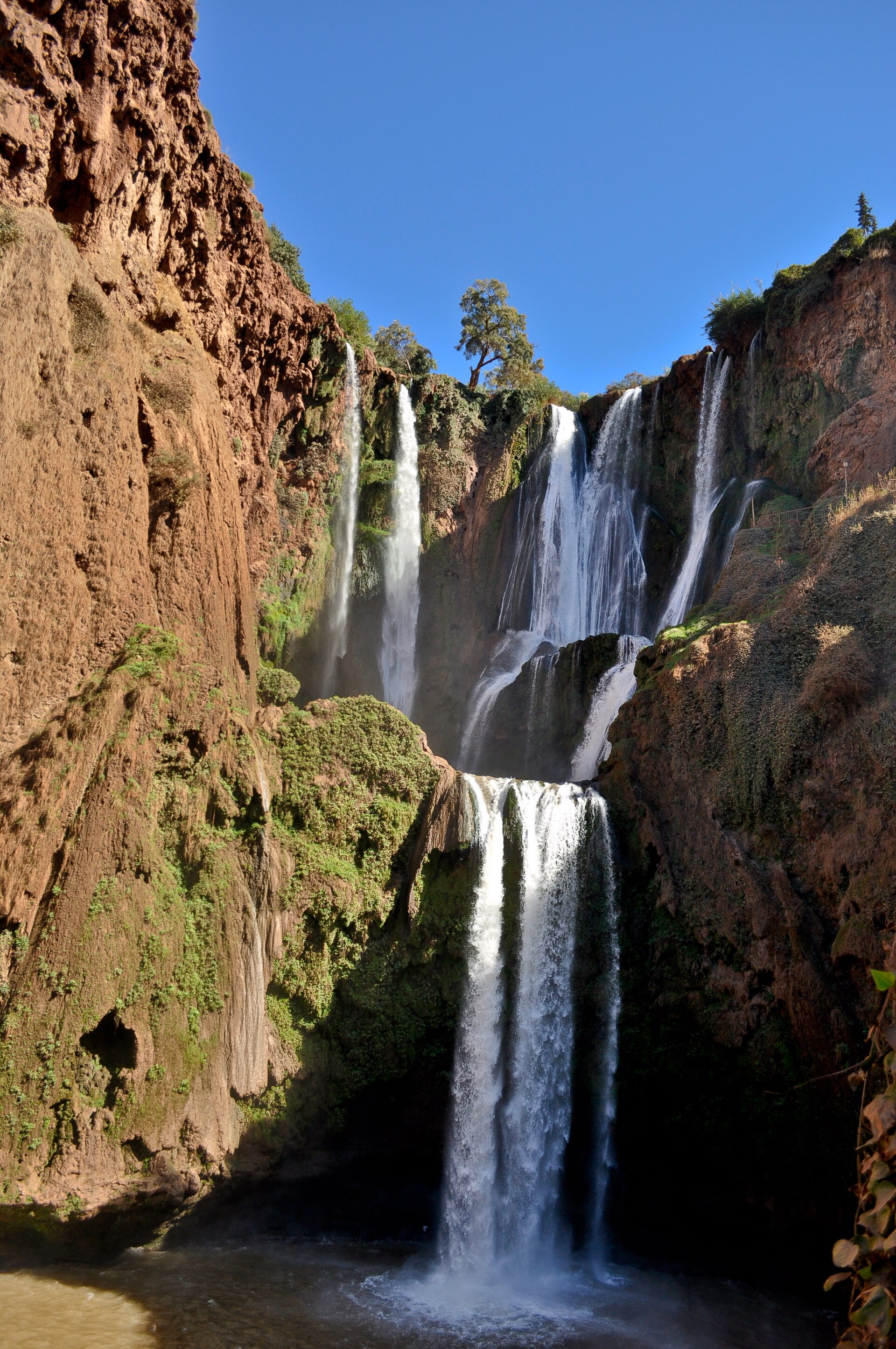
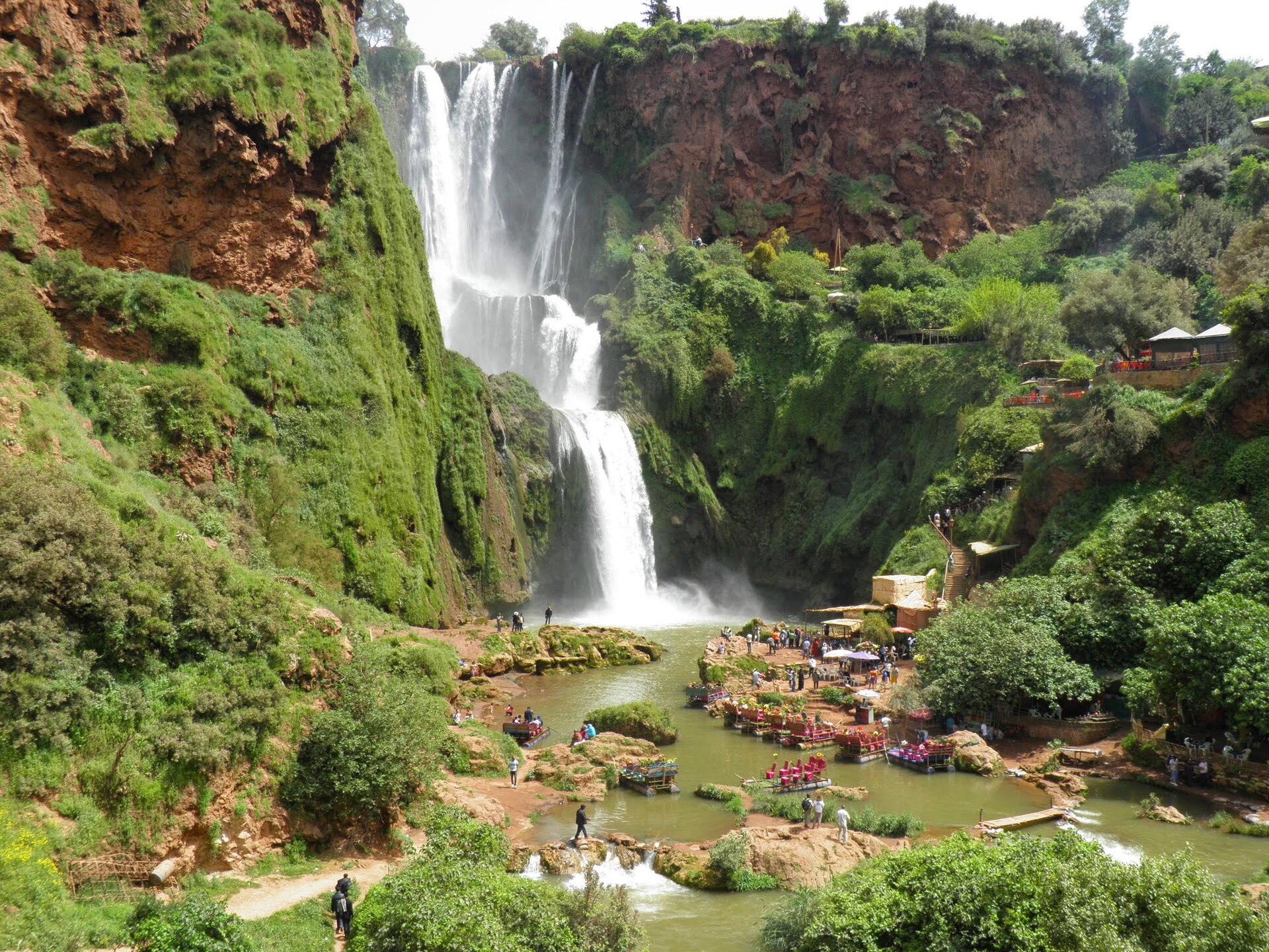
The Ouzoud waterfalls drop about 110 m, over several tiers, into a red sandstone valley carved by the Tissakht river. Their name comes from the Berber word for olive: the site is surrounded by olive groves, almond and fig trees, and old mills stand at the top of the falls. The site is classified as a SIBE (site of biological and ecological interest, a Moroccan protection status for natural areas) for its biodiversity.
Ouzoud is about 150 km from Marrakesh, two and a half to three hours by road, and some thirty kilometres from Azilal. It is often done as a day trip from Marrakesh: the excursion can be booked from €15 per person on Civitatis, or from €29 with a guide and an optional boat ride on Musement, two activity booking platforms (prices noted on 14 October 2026).
The visit comes down to a few simple steps:
- Walk down to the foot of the falls on the built path, which has several viewpoints.
- Do the loop of about an hour: you go round the falls through the olive groves, cross the river and come back along the opposite bank. Sturdy shoes are recommended.
- Get close to the falls by boat, on the small shared boats run by local people, which take you to the foot of the main cascade.
- Swim in the natural pools downstream of the main falls.
Barbary macaques live freely in the forest and often come up to visitors: do not feed them. Summer is the busiest season, when the cool water draws the most people. Sabaro advises spending a night in Ouzoud village, which has a few places to stay: you then see the falls in the evening and early in the morning, before the day trips arrive. For keener walkers, two longer routes start from the site, one towards the Oued el-Abid gorges, the other to the Ouzoud springs.
The M'Goun Geopark: reading the landscape
Ouzoud, Azilal and the Ait Bouguemez valley are part of the M'Goun Geopark, which joined the UNESCO (United Nations Educational, Scientific and Cultural Organization) Global Geoparks Network in September 2014. A geopark is an area whose geological heritage is recognised and showcased together with its inhabitants; the label creates no legal protection of its own. M'Goun was the first in the Arab world and in Africa. It covers more than 5,700 km² and fifteen municipalities of the central High Atlas, and its label was renewed in 2023.
M'Goun owes the label to several things a traveller can see:
- Dinosaur footprints, of theropods (two-legged carnivores) and sauropods (large long-necked herbivores), by the hundreds at the Iouaridene site.
- Rock engravings and waterfalls.
- The Imi N'Ifri natural bridge, about 6 km from Demnate.
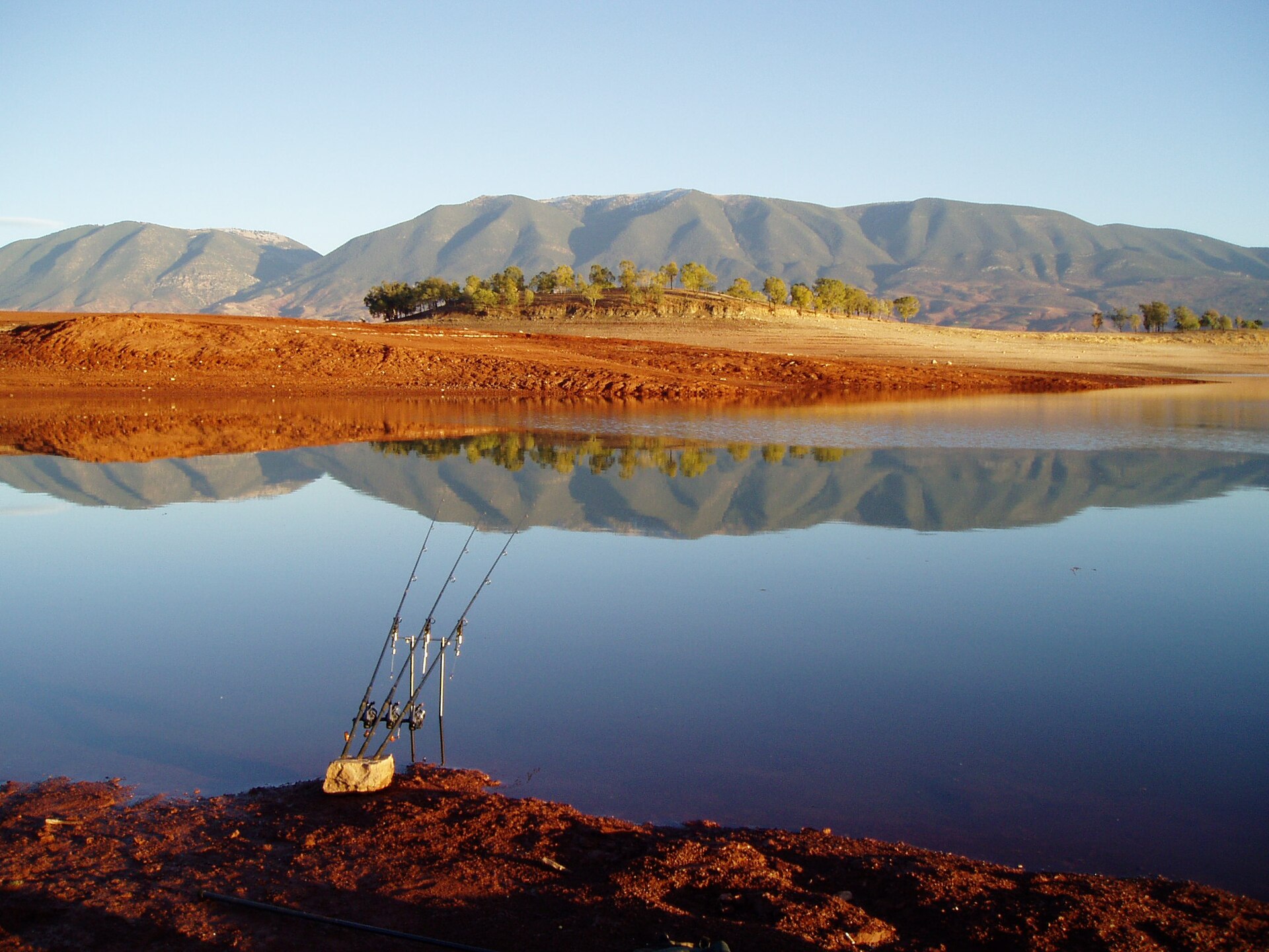
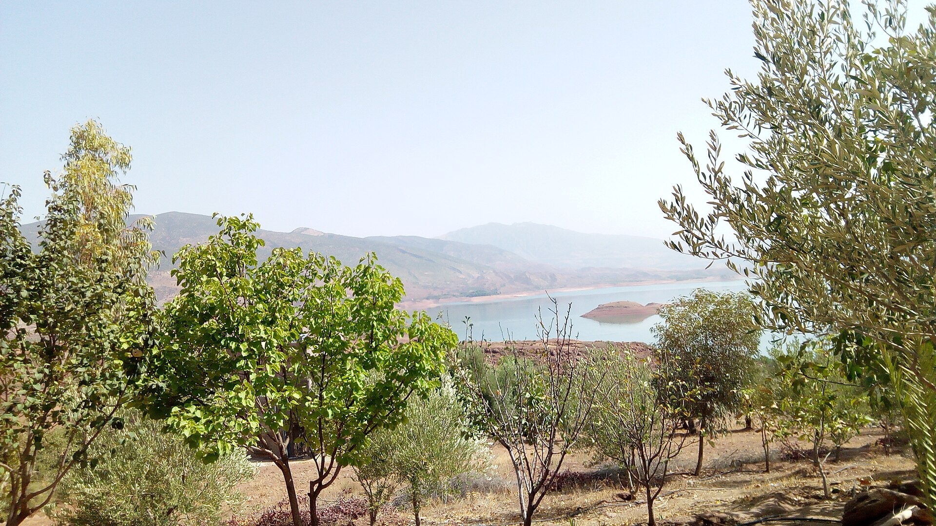
- Bin El Ouidane lake, with its azure water, about an hour from Ouzoud, and the Ahansal gorges.
The geopark museum in Azilal gives you the keys before heading out. Sabaro recommends a local guide for the footprints and the gorges, which are spread over a wide area.
The Ait Bouguemez valley
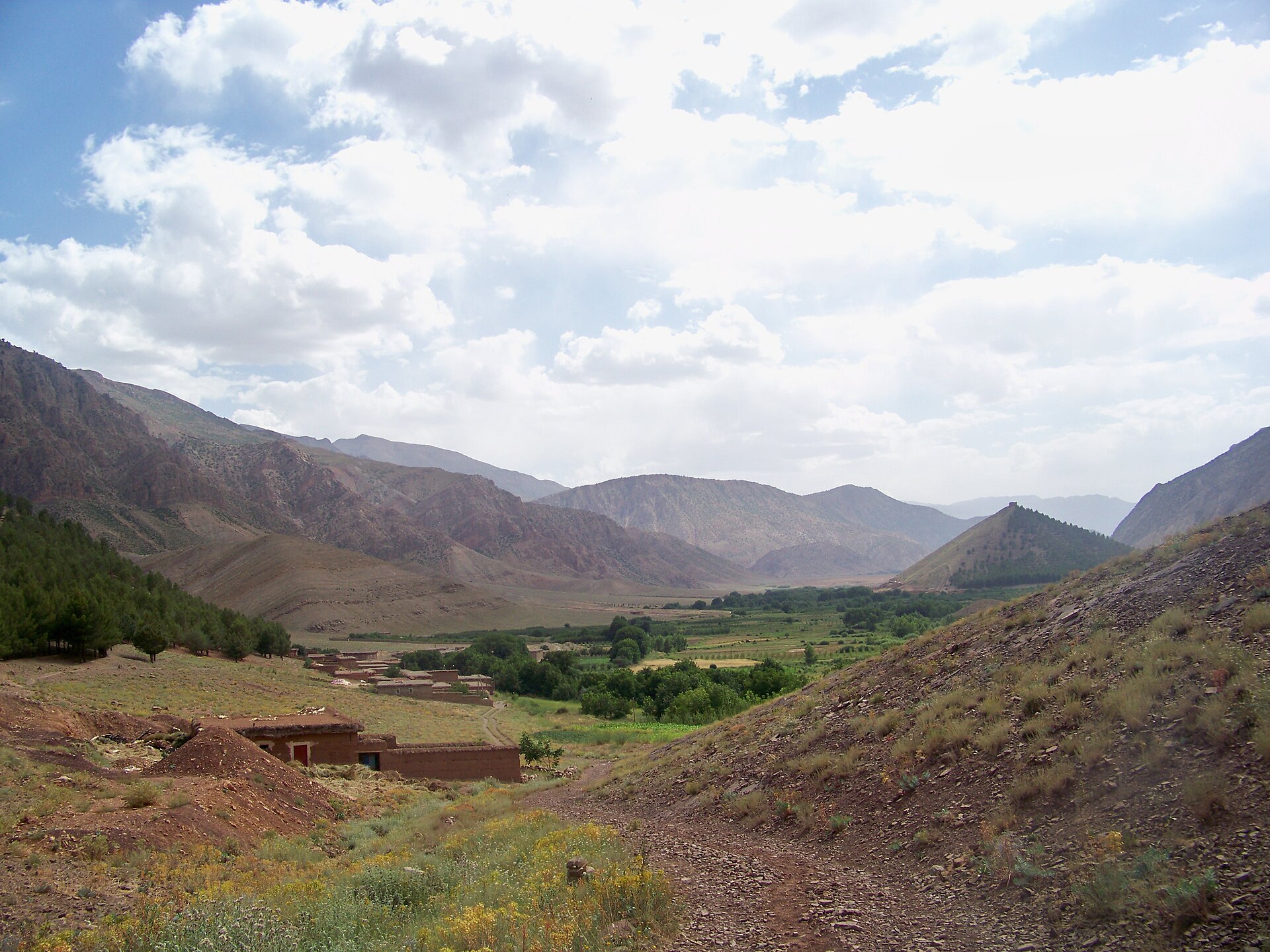
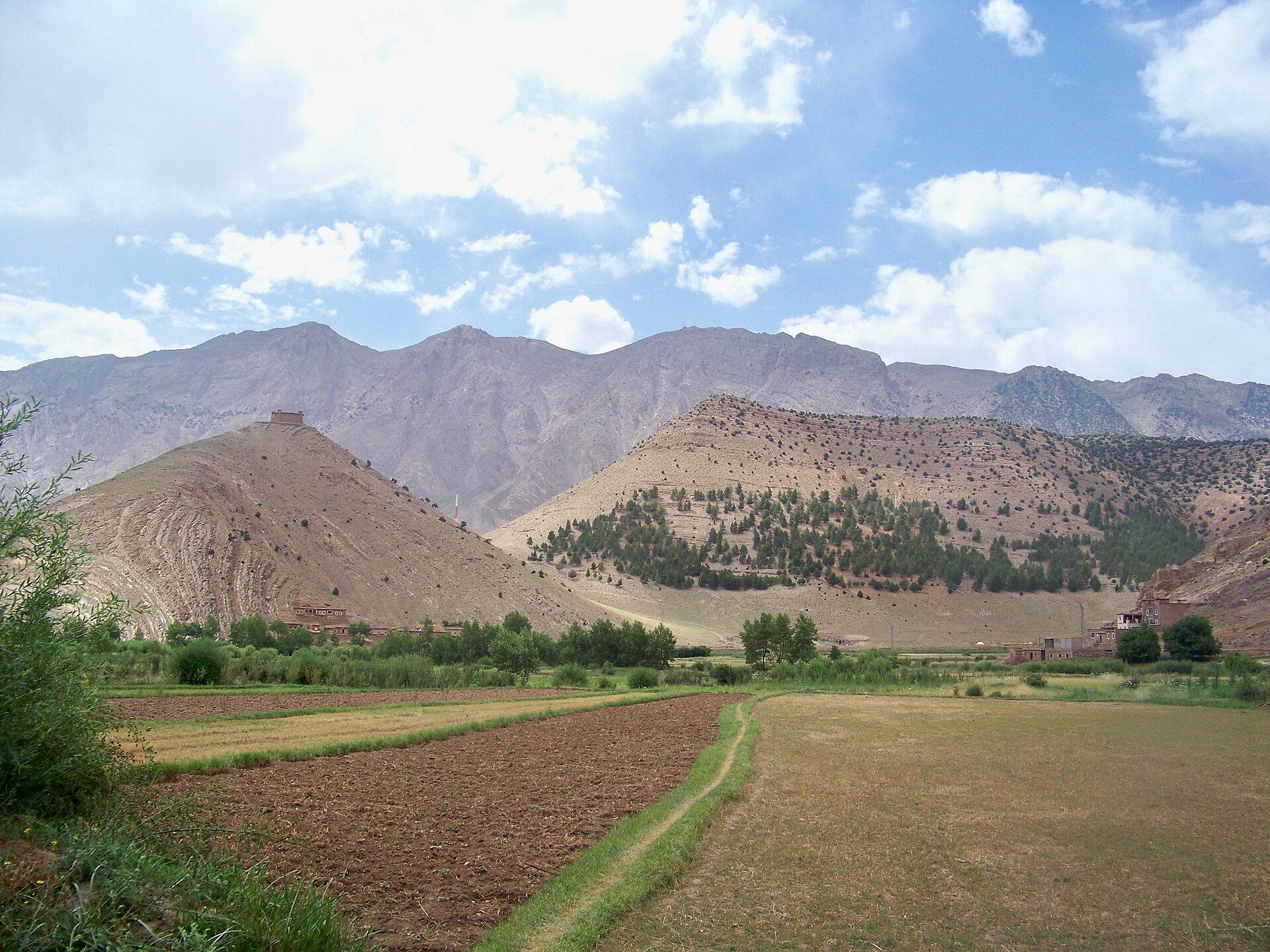
The Ait Bouguemez valley is overlooked by M'Goun, which rises to 4,071 m. Its villages of earthen houses centre on Tabant, which has several gîtes. The valley was isolated for a long time: the first all-year road was only built in 2001, and before that snow could cut it off from the rest of the country for months.
This is homestay hiking country. You walk from village to village with a guide and sleep in gîtes, mountain houses run by families. The fittest climb M'Goun itself, over several days with camping.
Touda Ecolodge, at about 2,200 m at the foot of Mount Azourki, in the village of Zawiyat Oulmzi, is the address in Sabaro's selection in the valley: eleven rooms, including family rooms, a stone terrace over the valley, a vegetable garden and an eco-museum, cooking classes and yoga. It organises guided hikes, ascents of M'Goun and Azourki, and mountain-bike outings.
How many days, and when
Azilal is 161.7 km from Marrakesh, 2 h 40 by road, and 278.6 km and 5 h 10 from Ouarzazate. Depending on the time you have:
- One day is enough for Ouzoud, from Marrakesh.
- Two or three days let you add a night at Ouzoud, then Bin El Ouidane and the Imi N'Ifri bridge.
- Five days or more are the right pace to go up into the Ait Bouguemez valley and walk there.
The climate table on this page is for Beni Mellal, the reference station for the region, in the plain: it has about 23 days above 35 °C in both July and August. In summer, Sabaro therefore advises seeing Ouzoud early in the morning and heading up into the mountains to walk. Spring is the greenest season, after the rains; Sabaro recommends it for walking, along with autumn. In winter, snow falls on the Ait Bouguemez valley: walking there calls for mountain gear.
What to see
- Ouzoud waterfalls — about 110 m visitmorocco.com
- Imi N'Ifri natural bridge visitmorocco.com
- Bin El Ouidane lake visitmorocco.com
- Ait Bouguemez valley visitmorocco.com
- Tamga nature reserve — nature reserve in Azilal province visitmorocco.com
- Ahansal river gorges — gorges of the central High Atlas visitmorocco.com
When to go
Climate in Beni Mellal
| Jan | Feb | Mar | Apr | May | Jun | Jul | Aug | Sep | Oct | Nov | Dec | |
|---|---|---|---|---|---|---|---|---|---|---|---|---|
| Max. (°C) | 18.1 | 19.5 | 22.6 | 25.2 | 29.1 | 34.0 | 37.8 | 37.5 | 31.9 | 28.0 | 22.4 | 19.1 |
Source: NOAA, normales climatiques 1991-2020 de l'OMM — WMO 1991-2020 normals, archived by NOAA, accessed 14 October 2026
Getting there
- Marrakesh–Azilal: 161.7 km and 2 h 40; Ouzoud about 150 km from Marrakesh visitmorocco.com
By air
| Airport | By road | Direct flights |
|---|---|---|
| Marrakesh Menara (RAK) | 164 km, 3h11 |
|
| Casablanca Mohammed V (CMN) | 243 km, 3h40 |
|
| Beni Mellal (BEM) | 107 km, 2h17 |
Hotels chosen in the region
| Hotel | Category | Suits | Guest rating | Indicative price |
|---|---|---|---|---|
| Touda Ecolodge | 11-room Berber ecolodge | Mountains, Boutique and historic hotels, Food and dining | 4,9/5 (Tripadvisor) | from 90 € per night |
Chosen activities
- Day trip to the Ouzoud waterfalls from Marrakesh — 10 hours · from 15 € per person
Public price collected on: Civitatis — accessed 14 October 2026
- Guided visit of the Ouzoud waterfalls, optional boat ride, from Marrakesh — 9 hours · from 29 € per person
Public price collected on: Musement — accessed 14 October 2026
Read next
Frequently asked questions
Can Ouzoud be a day trip from Marrakesh?
Yes: 150 km and two and a half to three hours' drive each way. Sabaro advises leaving early, or spending a night there to see the falls without the crowds.
Can you swim at Ouzoud?
Yes, in the natural pools downstream of the main falls. Local boats take you to the foot of the main cascade.
What is the Ait Bouguemez valley?
A mountain valley in the central High Atlas, at the foot of M'Goun (4,071 m), nicknamed the 'valley of happy people'. You hike from village to village, sleeping in gîtes.
Where can I see dinosaur footprints?
At the Iouaridene site, in the M'Goun Geopark, where there are hundreds of them. A local guide will help you find the sites.
Do I need a guide to hike in the Ait Bouguemez?
Sabaro recommends one: a guide from the valley knows the trails and books the gîtes. Touda Ecolodge, in the valley, organises guided hikes.
A travel advisor replies by email. Free, no commitment.