Al Hoceima
Al Hoceima is a seaside town in the Rif, on the Mediterranean, next to the only Moroccan national park that protects both land and sea: 48,460 hectares of cliffs, coves and seabed. For travellers who want a coast little visited by tours, hiking and diving, in spring or summer.
A bay in the history of the Rif
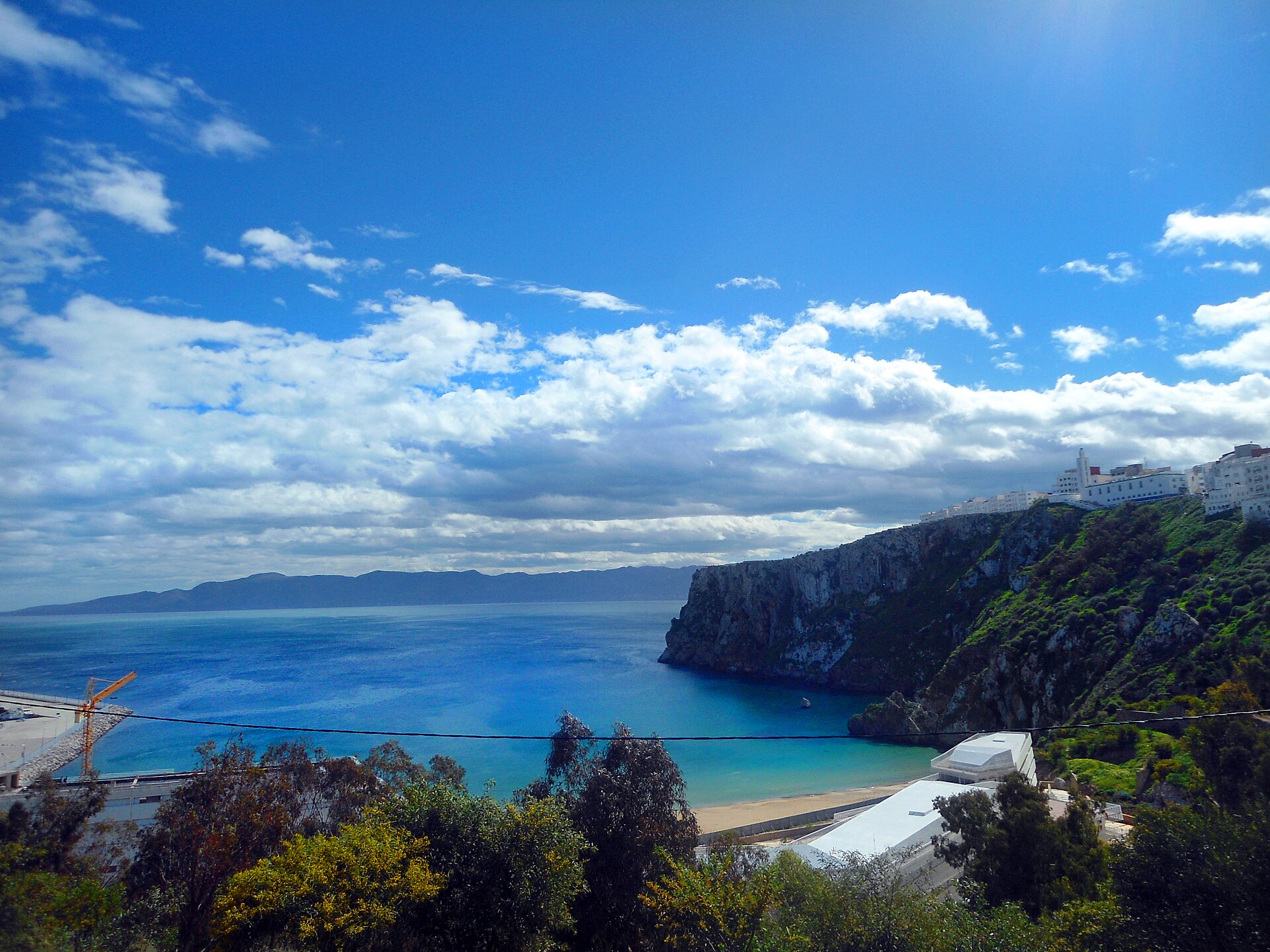
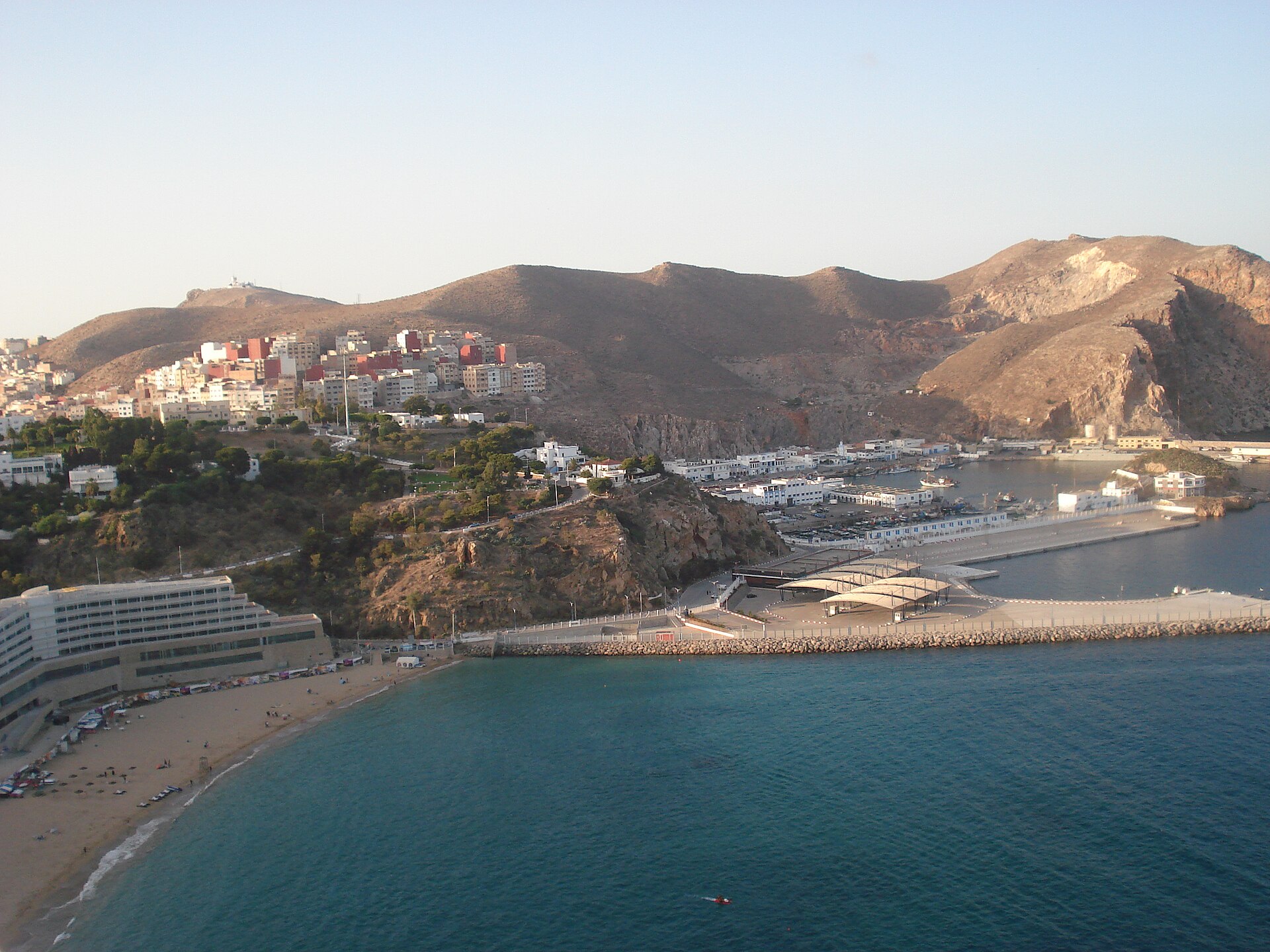
Al Hoceima lies on a wide, open bay on the Mediterranean coast, in the heart of the Rif. The modern town was created by Spain during the protectorate, under the name Villa Sanjurjo. It has about 50,000 inhabitants.
Its history is that of the Rif War. Abd el-Krim el-Khattabi, born in Ajdir, near Al Hoceima, led the Republic of the Rif, set up against Spanish occupation; the Spanish landing of 1925 in the bay of Al Hoceima was one of the episodes of that war.
Two rocks under Spanish sovereignty can still be seen from the coast: the rock of Al Hoceima, facing Sfiha beach, and, to the west, the rock of Bades, joined to the mainland by a narrow strip of sand.
On the night of 24 February 2004, the town was struck by a magnitude 6.3 earthquake that killed 629 people.
The national park, between land and sea
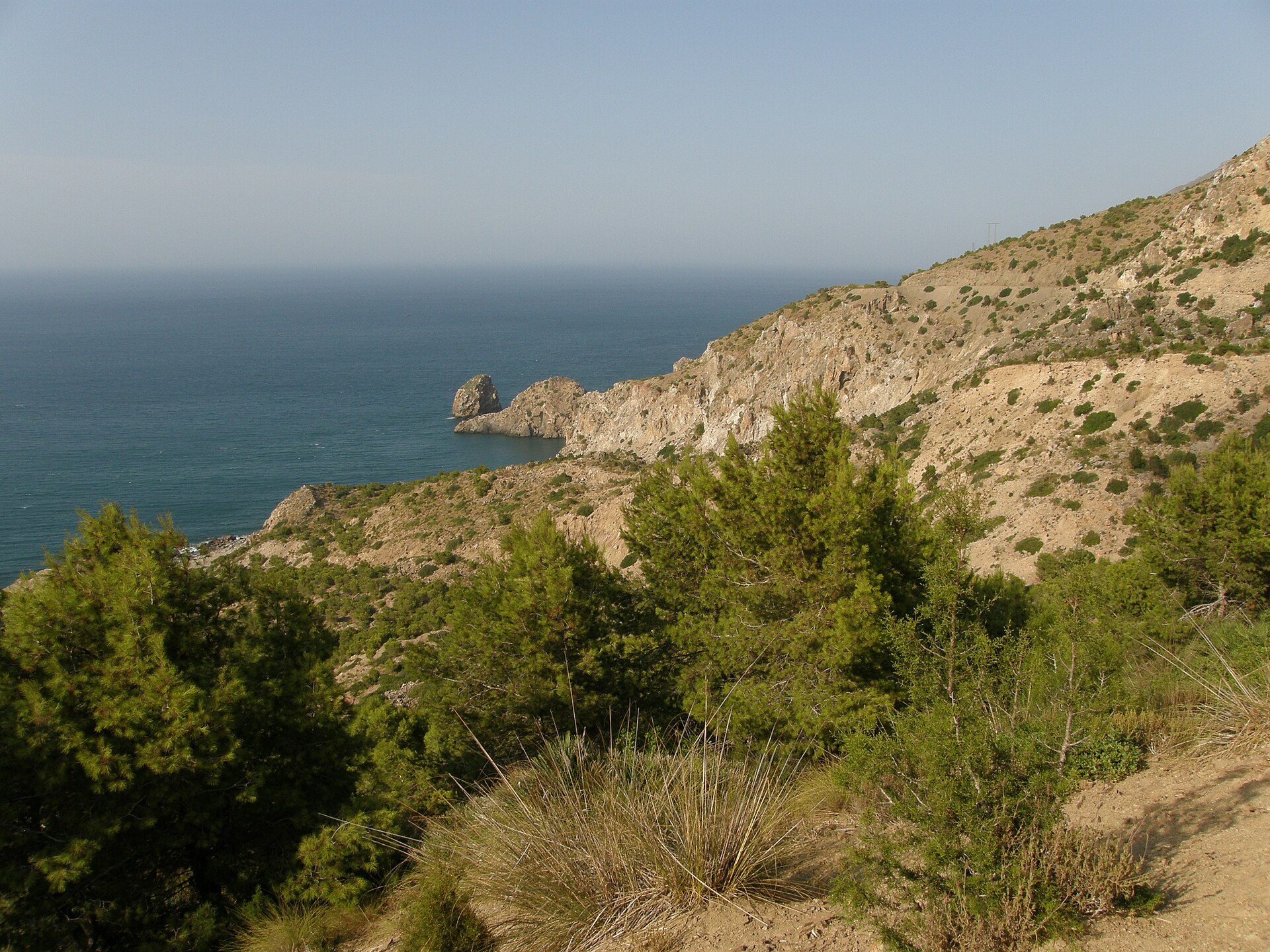
Al Hoceima National Park was created in October 2004, near the town. The IUCN (International Union for Conservation of Nature) describes it as the largest protected area on Morocco's Mediterranean coast: 48,460 hectares, of which 19,000 are at sea. It is the only Moroccan national park on the Mediterranean with a marine section, which includes several islets and rocks.
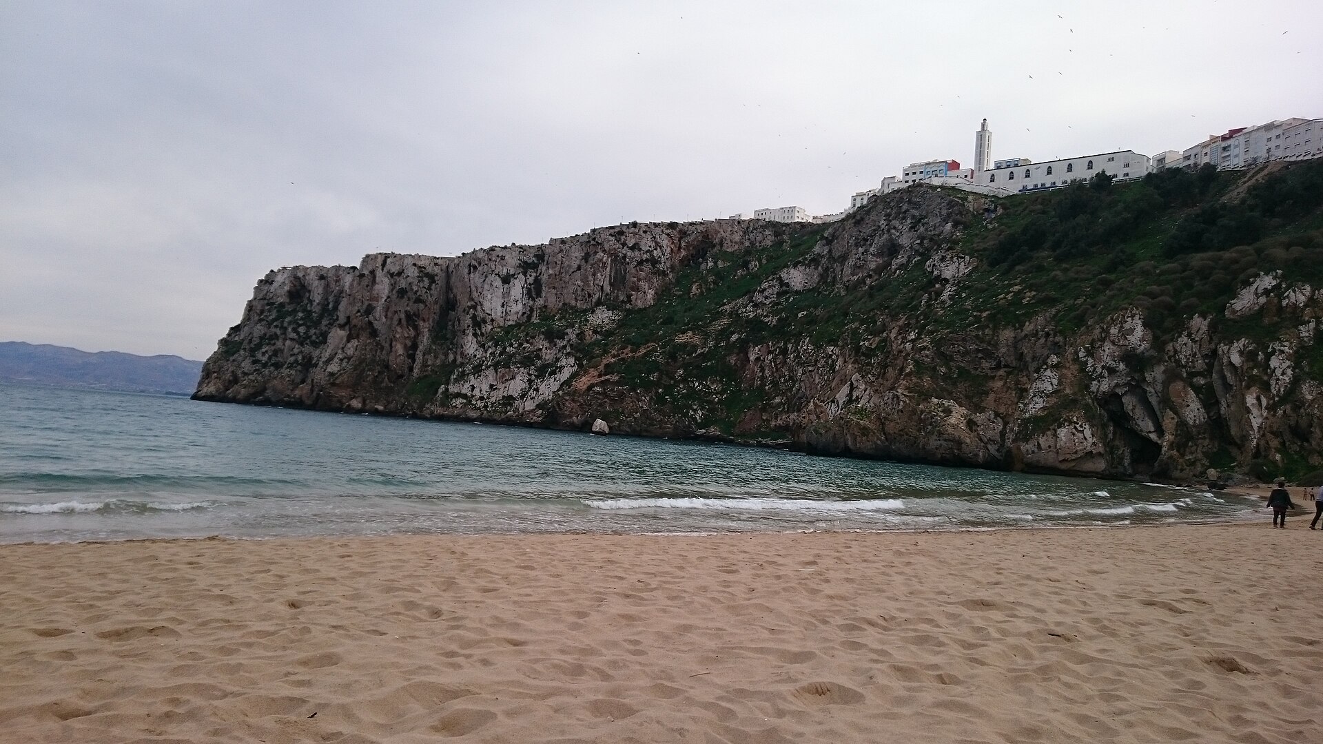
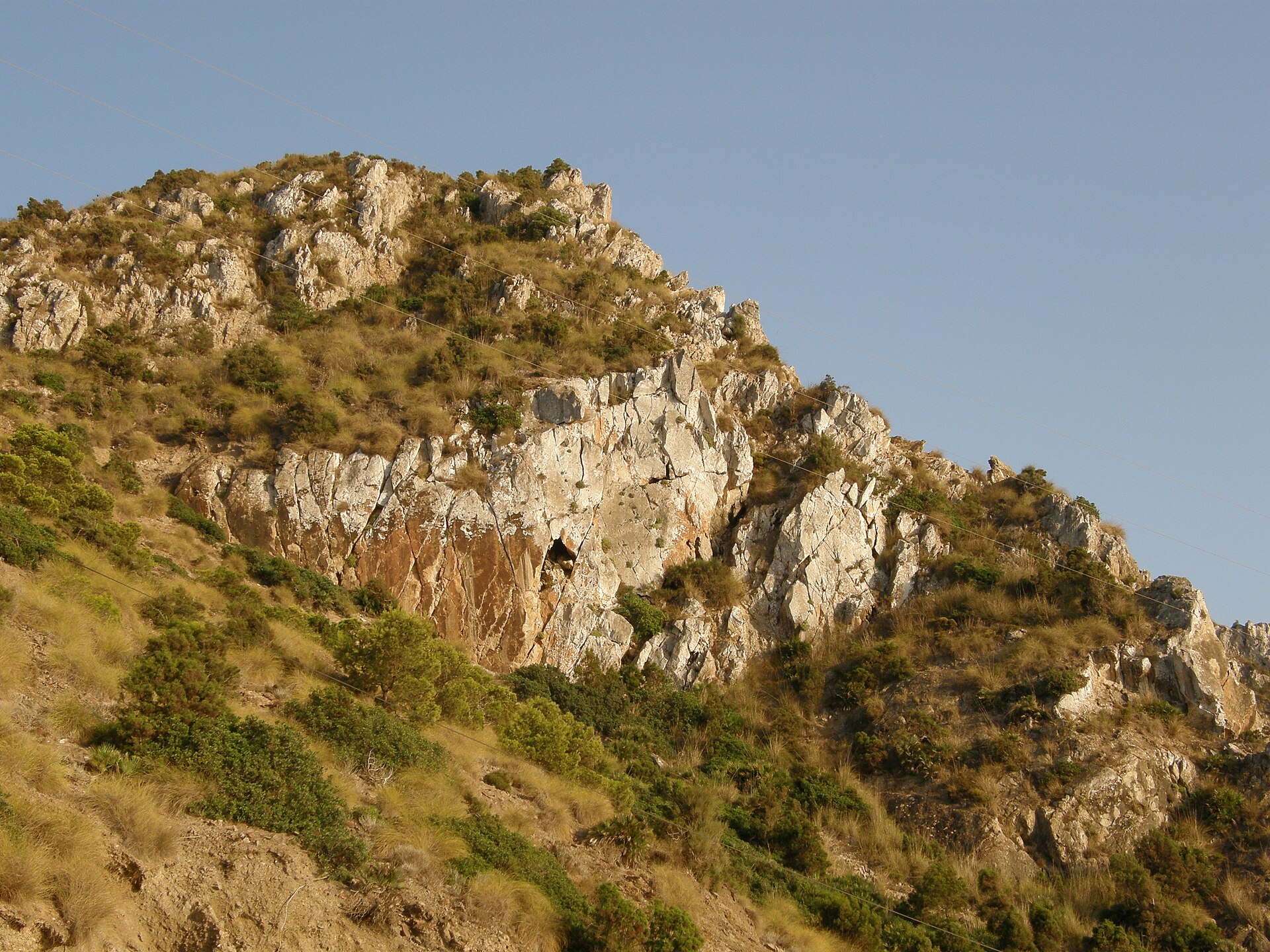
The landscape is that of the Bokkoya massif: some forty kilometres of cliffs, up to 600 m high in places, broken by coves. The osprey, a fish-eating bird of prey, nests on these cliffs, and protecting it was one of the reasons the park was created. Inland, Berber villages occupy the valleys.
There are three ways to see the park:
- On foot. A trail crosses the interior of the park, lined with gîtes (rural guesthouses in local homes) so that it can be walked over several days. Sabaro advises doing it with a local guide, who knows the villages and books the gîtes.
- Underwater. The marine section can be explored by scuba diving, which the national tourist office lists among the town's activities.
- Along the coast. The fishing village of Torres de Alcala keeps the ruins of five watchtowers built by the Portuguese when they occupied the region.
The landscapes change with the seasons: very green in spring, drier and sparser in summer. Spring is the season for walking, summer the season for the sea.
The town and its beaches
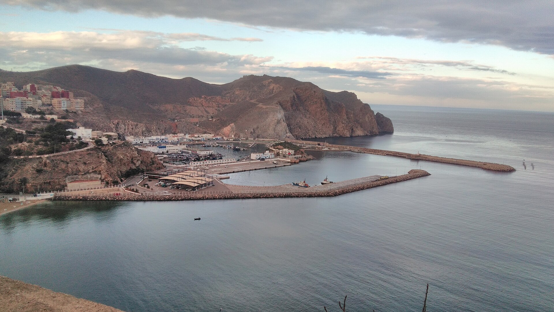
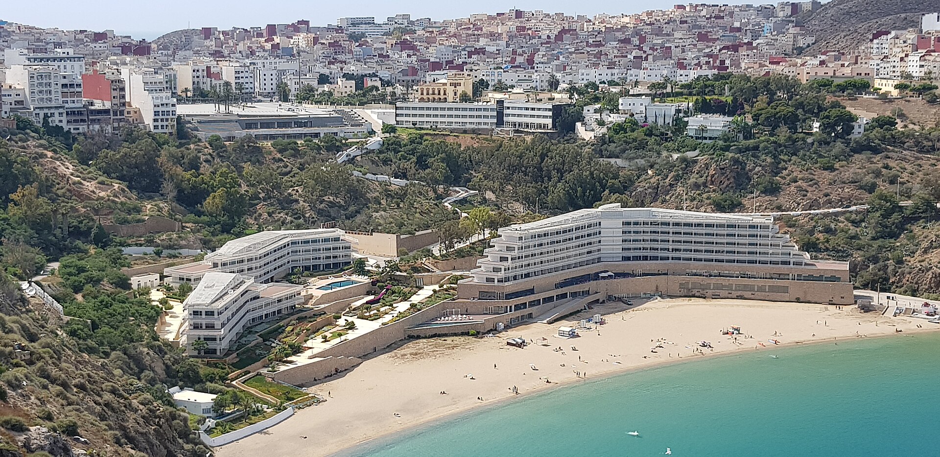
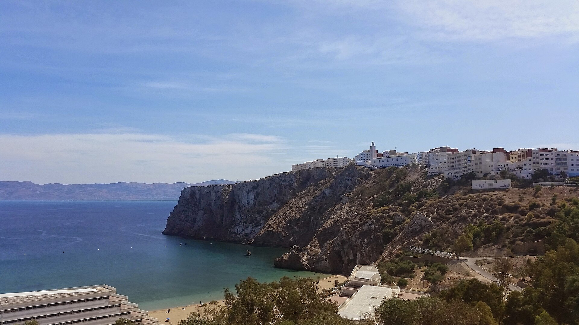
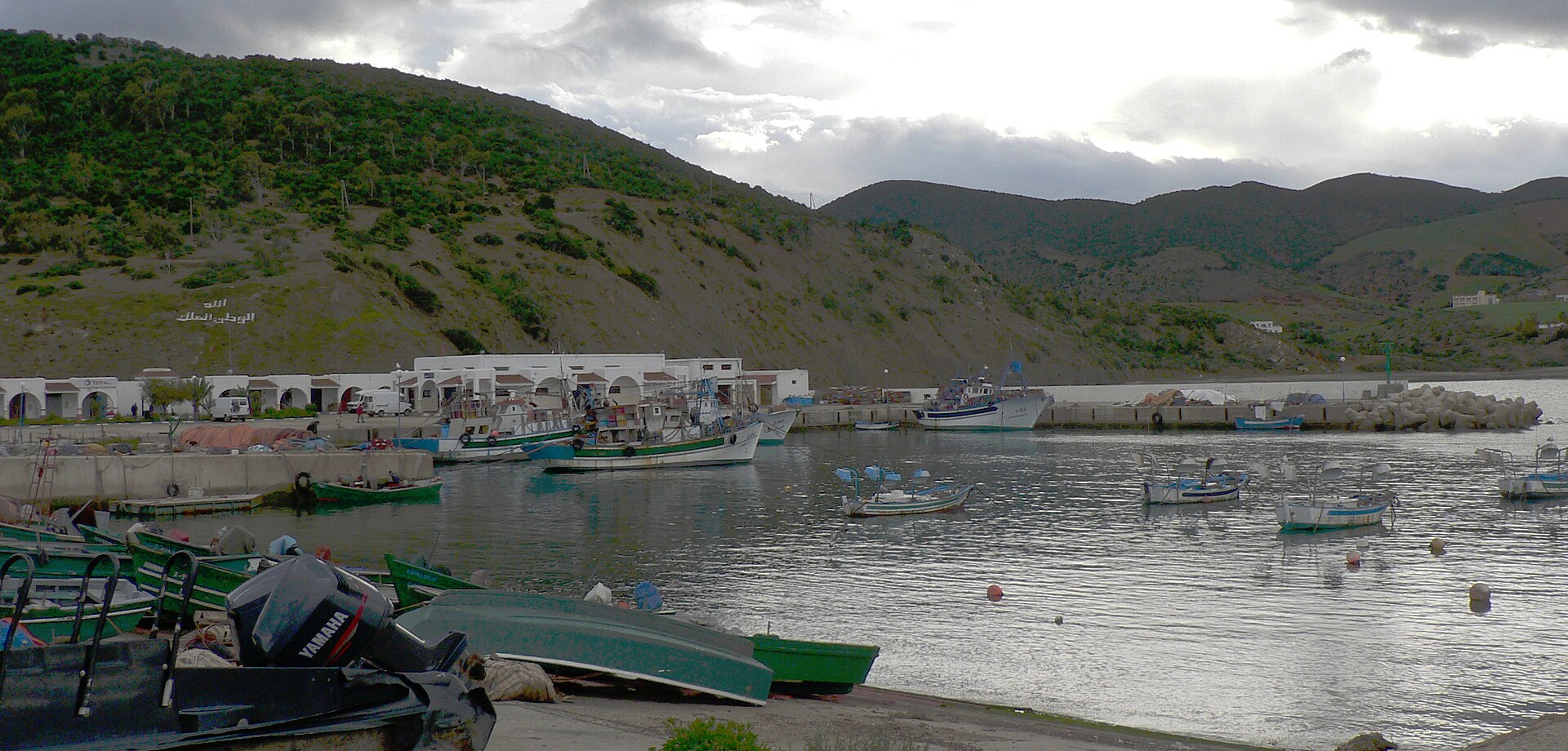
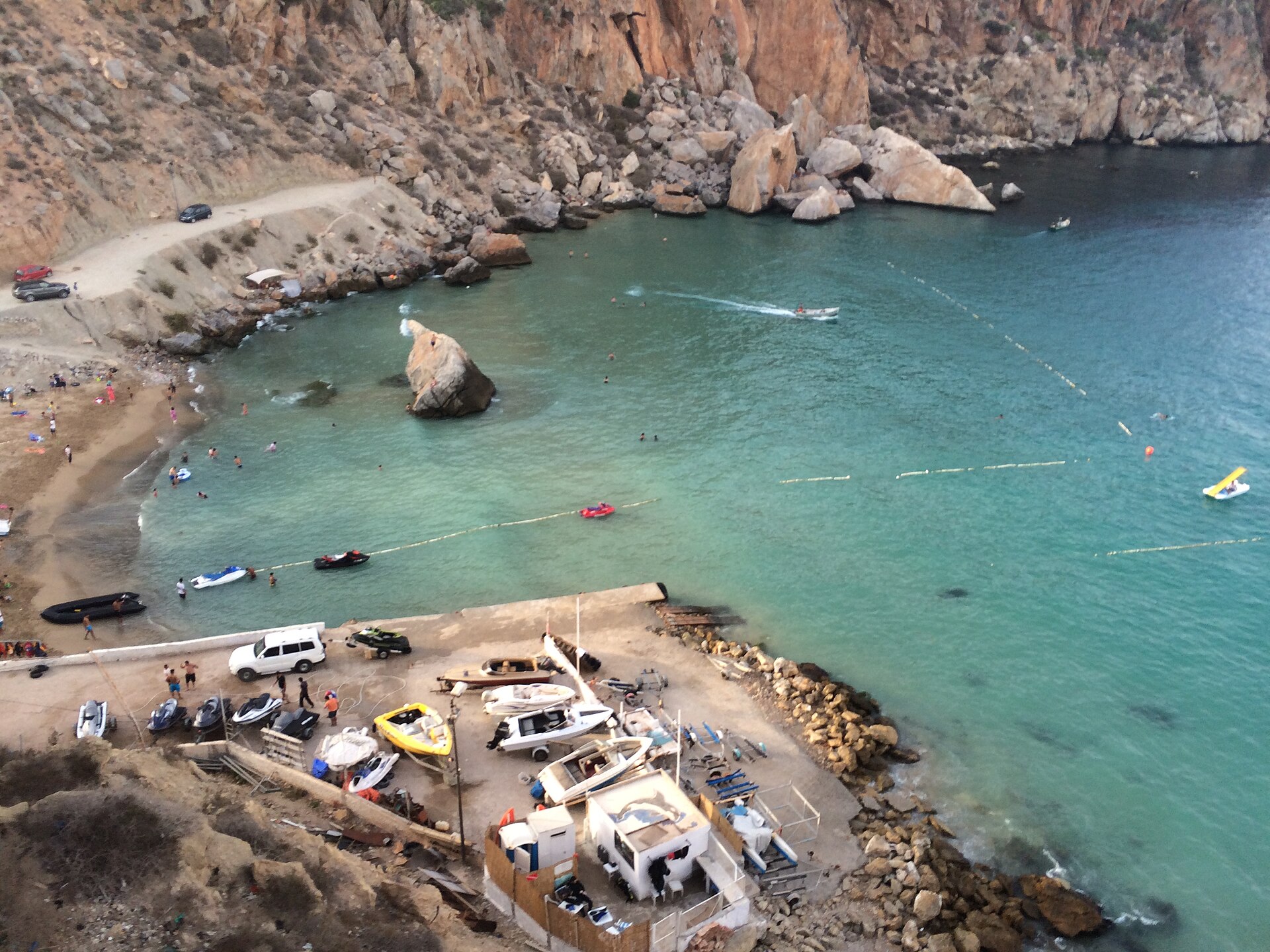
The bay is enough for a few days on the beach. The best-known beaches are Quemado, Cala Bonita and Sfiha; the coast has many others, including Cala Iris, Souani and Boussekour. The Moro Viejo corniche runs through the town to one end of the bay, with a wide view of the coast; the fishing harbour is the other evening walk.
For day trips into the park, Sabaro advises staying in town or on the bay and heading out from there.
Getting there, and how long to stay
Al Hoceima is a long way from the other northern towns. By road, Tetouan is 233 km and about 4 h 10 away, Chefchaouen 237 km and 4 h 15, Tangier 290 km and 5 h 10; the Oujda and Saidia region, to the east, is 259 km and 4 h 15. Cherif Al Idrissi airport, 17 km from the town, has a few seasonal flights to Brussels, Amsterdam and Rotterdam. From Europe, Sabaro advises flying into Tangier and driving via Tetouan or Chefchaouen, with a night's stop there.
That travel time sets the length of the stay. Sabaro recommends at least three nights: a day for the town and the bay, one or two for the park, on foot or at sea. Al Hoceima combines with Chefchaouen and Tetouan, along the east-west road across the Rif, or with Saidia and the Oriental region further east.
On the road, the Rif, a hashish-producing and trafficking region, calls for caution; the Al Hoceima-Chefchaouen-Tetouan road is fluid and causes fewer problems. Your country's foreign ministry advice is in the "Travel advice" table on this page.
On 2 August 2027, Al Hoceima is inside the path of totality of the solar eclipse: totality lasts about 4 minutes 30 seconds, around 8:49 local time.
What to see
- Al Hoceima National Park — created October 2004; 48,460 ha, of which 19,000 ha at sea; cliffs of the Bokkoya massif UICN (Union internationale pour la conservation de la nature), Atlas du parc national d'Al Hoceima, 2012
- Bades island (Badis) — rock linked to the mainland by a narrow strip of sand visitmorocco.com (ONMT)
- Portuguese watchtowers of Torres de Alcala — five towers near the fishing village visitmorocco.com (ONMT)
- Moro Viejo corniche and harbour — walk to one end of the bay; fishing harbour visitmorocco.com (ONMT)
- Quemado, Cala Bonita and Sfiha beaches visitmorocco.com (ONMT)
Getting there
- Al Hoceima-Cherif Al Idrissi airport (AHU), 17 km from the town; seasonal flights to Brussels, Amsterdam and Rotterdam Wikipédia
- Tetouan 233 km and 4 h 10; Chefchaouen 237 km and 4 h 15; Tangier 290 km and 5 h 10 visitmorocco.com (ONMT)
By air
| Airport | By road | Direct flights |
|---|---|---|
| Al Hoceima–Cherif Al Idrissi (AHU) | 17 km, 0h24 |
|
| Nador–Al Aroui (NDR) | 124 km, 2h04 |
|
Read next
Travel advice
| Country | Official advice | Source |
|---|---|---|
| France | Outside the areas marked on the map. Particular caution in the Rif, a hashish production and trafficking region: at night, avoid secondary roads; by day, do not stop. The Al Hoceima-Chefchaouen-Tetouan road is fluid and causes fewer problems | France Diplomatie (Site last updated 15 September 2026) |
| United Kingdom | No area-specific advice: the FCDO 'Regional risks' section only covers Western Sahara and the Algeria border | GOV.UK (FCDO) (Site last updated 19 August 2026) |
| Belgium | Not checked by Sabaro: see diplomatie.belgium.be | |
| Switzerland | Not checked by Sabaro: see DFAE (eda.admin.ch) | |
| Luxembourg | Not checked by Sabaro: see mae.gouvernement.lu | |
| Ireland | Not checked by Sabaro: see ireland.ie (DFA) | |
| Germany | Not checked by Sabaro: see Auswärtiges Amt | |
| Sweden | Not checked by Sabaro: see Regeringen (UD) | |
| Denmark | Not checked by Sabaro: see Udenrigsministeriet (um.dk) | |
| Norway | Not checked by Sabaro: see Regjeringen | |
| Poland | Not checked by Sabaro: see Odyseusz (MSZ) | |
| Czechia | Not checked by Sabaro: see MZV ČR | |
| Austria | Not checked by Sabaro: see BMEIA | |
| Netherlands | Not checked by Sabaro: see Nederland Wereldwijd | |
| Italy | Not checked by Sabaro: see Viaggiare Sicuri | |
| Spain | Not checked by Sabaro: see exteriores.gob.es | |
| Portugal | Not checked by Sabaro: see Portal das Comunidades | |
| Finland | Not checked by Sabaro: see Ulkoministeriö (um.fi) | |
Rules change: always check the official website before you travel.
Frequently asked questions
How long does it take to drive from Tangier to Al Hoceima?
About 5 h 10 for 290 km. From Chefchaouen, allow 4 h 15 for 237 km. Sabaro advises leaving in the morning so as to arrive before dark.
Can I hike for several days in the national park?
Yes: a trail crosses the interior of the park, with gîtes that let you walk it over several days. Spring is the best season, when the landscapes are greenest.
Can I swim in town?
Yes: Quemado, Cala Bonita and Sfiha beaches line the bay of Al Hoceima.
Can I visit the rock of Bades?
The rock of Bades is under Spanish sovereignty. You see it from the coast, where it is joined to the mainland by a narrow strip of sand.
Can the total eclipse of 2 August 2027 be seen from Al Hoceima?
Yes: the town is inside the path of totality. Totality lasts about 4 minutes 30 seconds, around 8:49 local time.
A travel advisor replies by email. Free, no commitment.